Related Assets
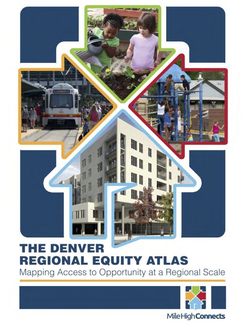
The Denver Regional Equity Atlas: Mapping Opportunity At The Regional Scale
The Denver Regional Equity Atlas was written to inform the development of strategies to ensure that existing and expanding transit systems in the Metro Denver region provide greater access from affordable housing to jobs, good schools, health care and other essential services. The Atlas is a visual representation of demographics, education, employment, health care and housing in relation to transit.
The Atlas helped Mile High Connects identify both areas of greatest opportunity and greatest need prior to developing its strategic plan. To help raise awareness among a wide range of stakeholders about the benefits and opportunities that a robust public transportation network can create, the Atlas maps out the region’s major origins and destinations in relation to the current and future transit network. The Atlas emphasizes the need to ensure access to opportunity for everyone in the region, especially improving connections for the region’s most economically disadvantaged residents. The future transit network will better connect people to jobs, healthcare providers, schools, grocery stores, parks and other essential destinations, but there are challenges in ensuring that the people who use and need access to public transportation the most have the opportunity to live, work, learn and play in transit-oriented communities.